Mapping the Rivers of Asia: A Voyager’s Guide to Historic Waterways
It can be hard to understand how Southeast Asia and India fit together when most maps overlook the rivers that link these cultures. Visualizing a journey from Vietnam’s busy deltas to Cambodia’s quiet spiritual centers is even harder when waterways look like borders instead of the routes that shaped entire civilizations. This guide breaks that complexity down, painting a clear picture of how historic river systems such as the Mekong and the Hooghly Ganges influenced the rise of ancient empires.
Navigating the Great River Arteries: An Asia Map for the Cultural Explorer
To understand the Orient, one must look at how the major rivers of Asia have served as the continent's primary trade corridors for millennia. This Asia river cruise map isn't a collection of borders; it's a living record of how the snowmelt from the Himalayas descends to nourish the civilizations of the south and east. The journey begins in the high, rugged canyons of the Upper Mekong before the water spills into the vast, emerald plains of the Delta. The Riverine Silk Road stands as the primary path for cultural exchange, weaving together the disparate stories of the people who live along these banks.
The Interconnectedness of Indochina
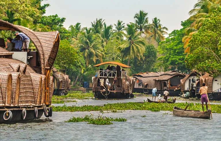
The Mekong serves as a natural gateway between Vietnam and Cambodia, allowing for a seamless transition that land travel often lacks. On the Classic Mekong route, the landscape transforms from the industrious bustle of the Vietnamese delta to the serene, palm-fringed vistas of the Cambodian countryside. A geographic feature of this region is the Tonle River, which reverses its flow annually based on the monsoon cycle. This unique reversal dictates the rhythm of local fishing and farming life, creating a seasonal pulse that defines the Cambodian map.
South Asia: The Sacred Flow of the Ganges and Brahmaputra
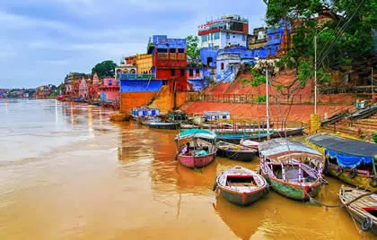
In India, the riverine map centers on the spiritual power of the Ganges and its distributaries like the Hooghly. These waterways guide travelers through the heart of West Bengal and beyond, connecting historic colonial outposts with ancient pilgrimage sites. As you move toward the remote northeast, the geography changes dramatically along the Brahmaputra River in the Assam valley. Here, the river is vast and unpredictable, carving through a landscape of high sandbanks and dense jungle. The Brahmaputra requires specialized navigational expertise due to its shifting sandbars, a challenge our shallow-draft vessels are built to meet. The air feels different here; it's cooler and carries the scent of damp earth, marking a shift into a territory where nature remains the dominant force.
A Guide to Asia’s Most Navigable Waterways
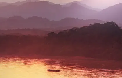
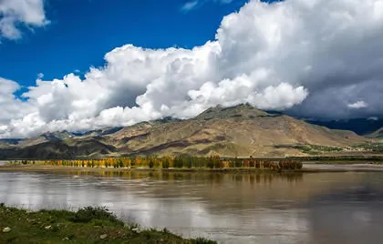
While large ships are confined to the widest channels and industrial ports, the true heart of the continent lies in the narrow tributaries where life remains largely unchanged. The great rivers of the Tibetan Plateau carve paths through territories where roads are often nonexistent, making water the only viable corridor for exploration. Pandaw's shallow-draft vessels utilize a specialized design that allows us to navigate these hidden reaches, providing access to remote villages and ancient temple sites that larger groups simply cannot reach. This Shallow Water Advantage is particularly evident in the Golden Triangle, where the borders of Thailand, Laos, and Burma converge in a landscape of dense jungle and mist-shrouded peaks.
The transition between these environments is atmospheric. In Northern Vietnam, the ethereal morning mist of Halong Bay eventually gives way to the vibrant, silt-rich waters of the Red River Delta. This shift marks the move from a maritime landscape into the agricultural soul of the country, where the river serves as the primary artery for local trade and traditional ceremonies.
The Mekong River System: From Delta to Jungle
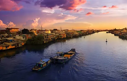
The journey from Saigon to Phnom Penh offers a study in geographic contrast. The route begins in the bustling, industrious energy of the lower delta before the river widens and the pace of life slows significantly. As you cross into Cambodia and move toward the Laotian Mekong, the landscape becomes increasingly tranquil. For a deeper analysis of these routes, our Classic Mekong guide details how the river transforms from a wide commercial highway into a narrow, jungle-fringed waterway where the only sounds are the calls of tropical birds and the rhythmic splash of local oars.
Charting a Course Beyond the Map: The Spirit of Exploration
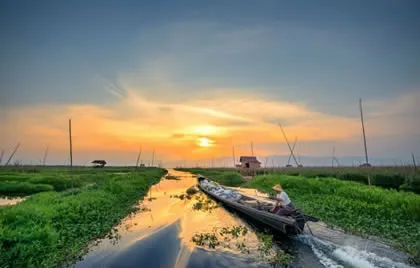
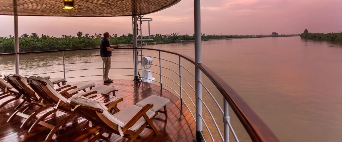
The true value of an Asia river cruise isn't found in the lines on a page, but in the ability to inhabit those spaces. Our handcrafted teak vessels are designed to be more than just transport; they're extensions of the river's own history. Imagine waking as the morning mist still clings to the teak decks, the ship moored quietly beside a village that hasn't seen a road in decades. While mass tourism often crowds the major ports, the major river systems of mainland Southeast Asia offer thousands of miles of secluded reaches that remain largely unvisited. Expert guides accompany every journey, providing regional insights and ancestral stories that no satellite map could ever capture.
Planning Your Expedition
As you look toward your next journey, consider the map as an invitation to a longer narrative rather than a set of fixed points. Many explorers choose to combine our itineraries, such as the Full Mekong or a long, 18-night experience through India, to see the entire span of these historic waterways. We encourage you to look at the Asia river cruise map as a starting point for discovery, a way to reach the places that remain off the grid. We invite you to view the map in person and join us on an upcoming expedition.
Frequently Asked Questions
What are the most important rivers to see?
The most significant waterways include the Mekong, the Ganges, the Brahmaputra, and the Red River. Each offers a distinct cultural landscape, from the sacred pilgrimage sites along the Ganges to the remote, jungle-fringed banks of the Upper Mekong. These rivers aren't just bodies of water; they're historical corridors that have shaped the trade and spiritual traditions of the region for centuries.
Can you cruise from Vietnam to Cambodia on the Mekong River?
Yes! This journey typically connects the industrious energy of the delta in Vietnam with the serene riverside villages and historic temples of Cambodia. It's essential to remember that while e-visas are popular, they aren't currently accepted at the waterway border crossing from Vietnam into Cambodia. Most travelers opt for a single-entry visa on arrival, which is often arranged directly through the cruise line.
Which part of Asia is best for a first-time river expedition?
The Lower Mekong remains the ideal starting point for those new to river expeditions. This route provides a gentle introduction to the region's complexity, moving from the bustling markets of Saigon to the historic architecture of Phnom Penh. It's a journey that balances cultural immersion with the comfort of our small ships. You'll find the pace of life along the riverbanks perfect for observing daily traditions without feeling overwhelmed by the continent's scale.
How does the geography of the Red River Delta differ from the Mekong Delta?
The Red River Delta in Northern Vietnam offers a more dramatic, mist-shrouded landscape compared to the lush, tropical expanse of the Mekong Delta. While the Mekong is characterized by vast floodplains and palm-fringed canals, the Red River offers a rugged terrain of limestone karsts and highland valleys. This northern geography creates an atmospheric environment, especially during the cooler months when morning fog clings to the water, offering a quieter experience.